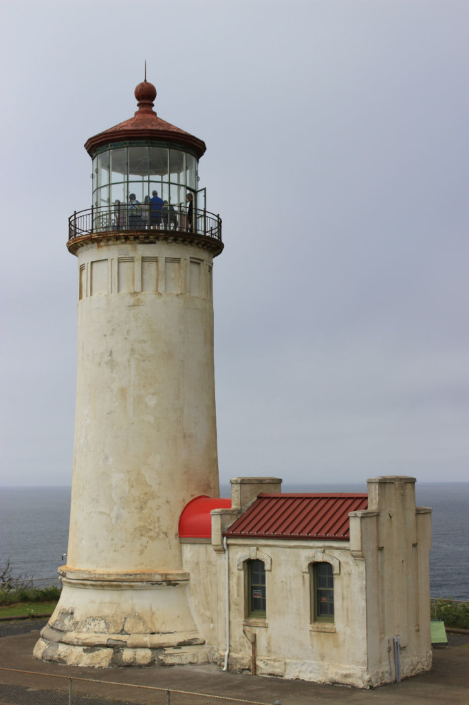
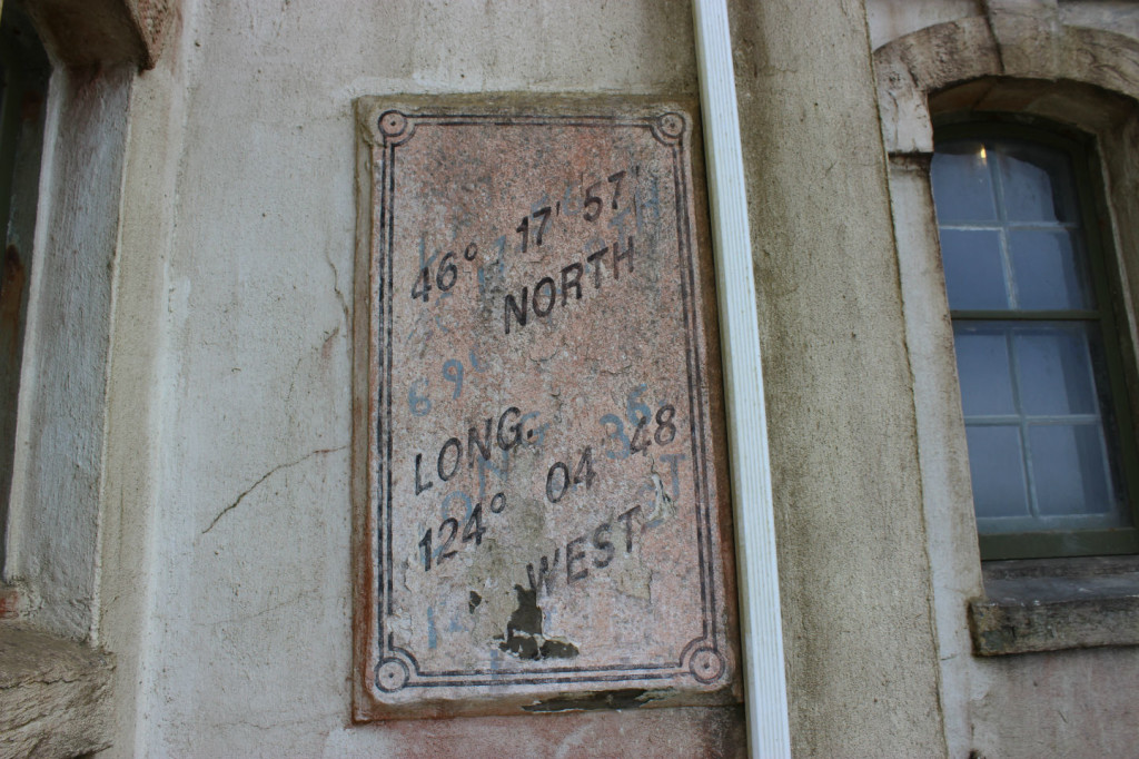
We spent the day exploring the corner of Washington and the mouth of the Columbia River. We started the day by going to the North Head lighthouse, which was built in 1898 and has been active to the present. It has a 65 foot tower and the light is 190 feet above sea level. Washington State Parks maintains the structure and the Coast Guard maintains the light. 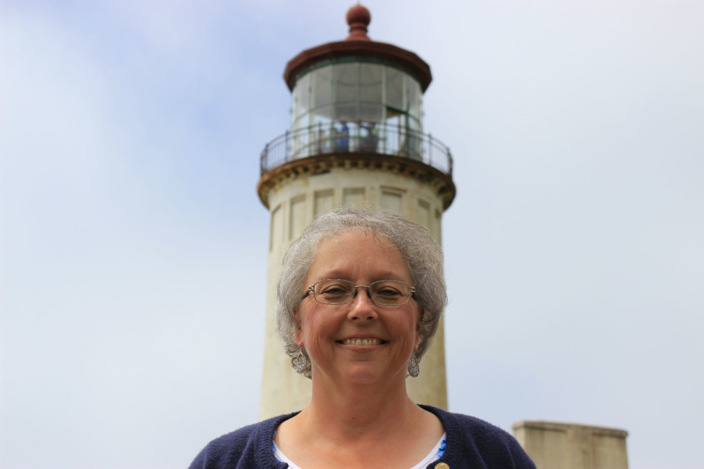
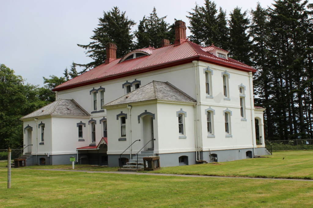
The assistant lighthouse keepers’ duplex.
 We were able to climb up inside with a volunteer guide, saw the lens up close and got to look all around at the great views of the ocean. We listened politely to the volunteer give his spiel and then were going to take pictures but as soon as he was done he radioed down to his wife that we were all coming down so we were scrambling to get pictures and he had to radio down to wait because there were pictures going on, so we felt a little rushed. But it was still really great to go up in it and we loved it. We also learned to just take pictures as we go.
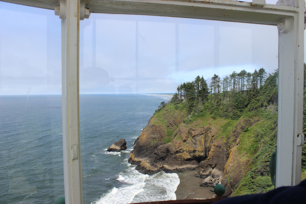
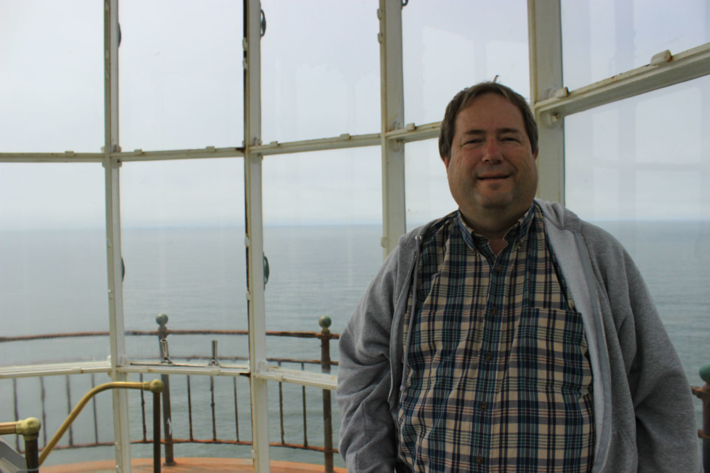
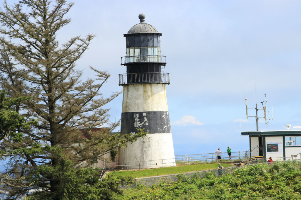
After the lighthouse we were back to chasing Lewis and Clark again. Just down the coast is Cape Disappointment, with a lighthouse older than North Head. Cape Disappointment was built for ships coming to the mouth of the Columbia River to help them avoid the rocky coast that had come to be known as “the graveyard of the Pacific”. It was successful but there were still shipwrecks because the sight line of the coast was very short in that spot. So North Head lighthouse was added later to improve the sight line. We took a double selfie with Cape Disappointment in the background.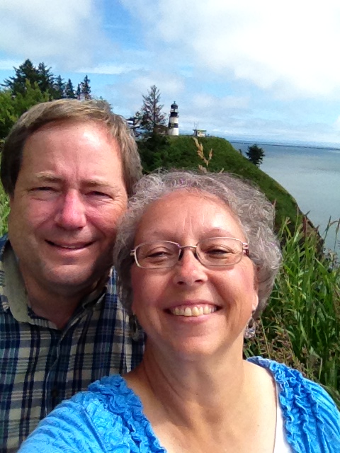
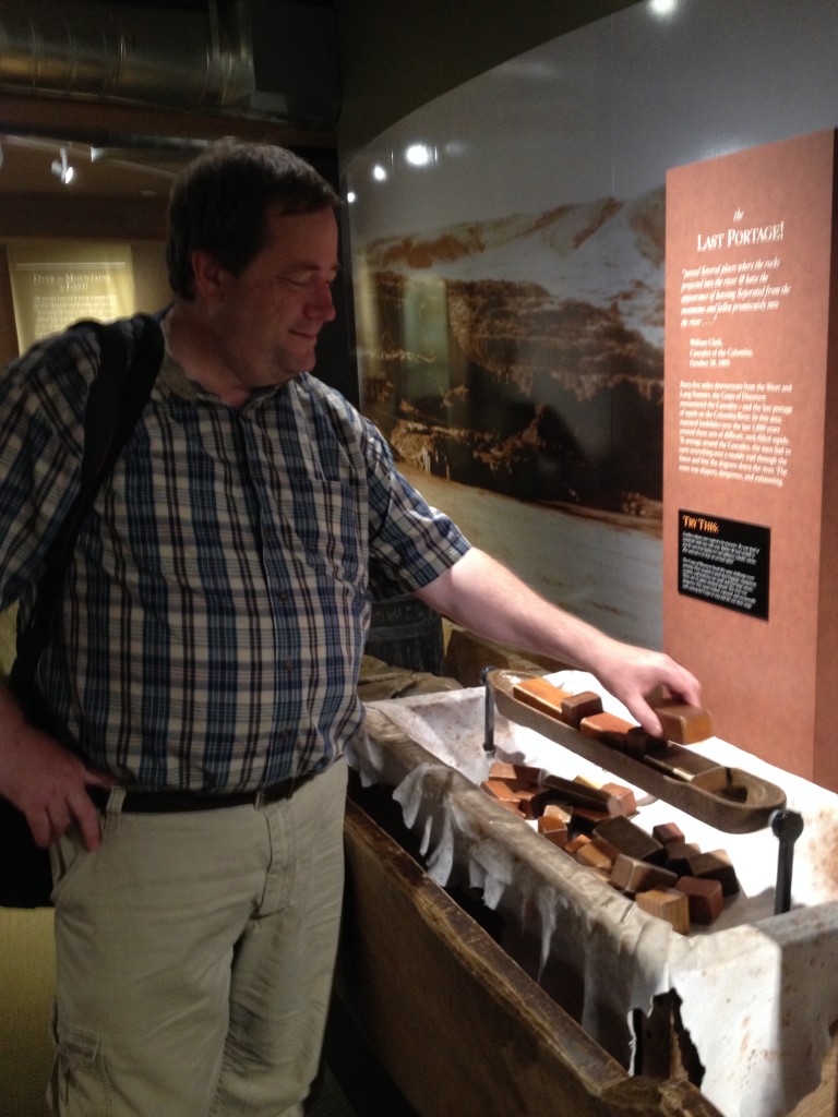
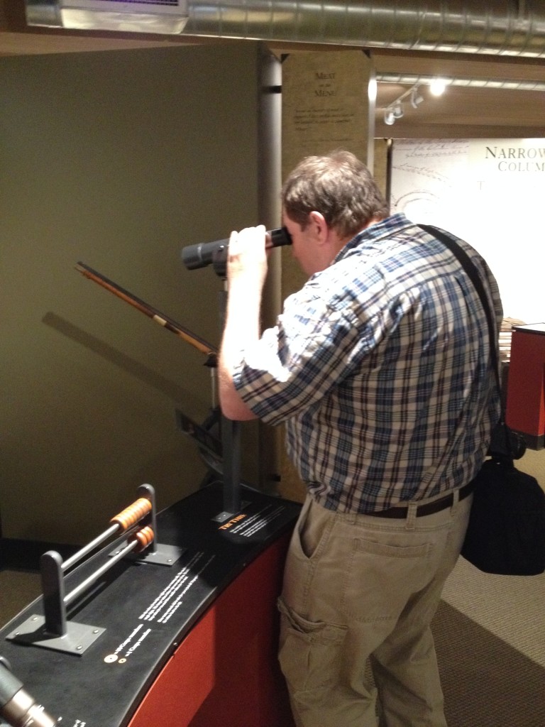
Cape Disappointment is also the furthest point west for Lewis & Clark and the Corps of Discovery and there is an interpretive center there. Scott had the opportunity to pack a dugout canoe which he promptly swamped and then be on the lookout for wild game.
We also learned this fascinating fact on a plaque there: “What about underwear? Although we don’t know for sure if the men of the Corp wore underwear, it is likely they wore shirts with long tails that extended below their waists. This extra length helped protect sensitive skin”. Good to know.
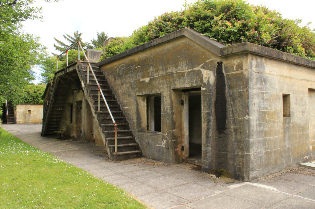
The Lewis and Clark Interpretive Center is built on the remains of Fort Canby which was used for coastal defense of the Columbia River in conjunction with other forts on each side of the river. We wandered around the small gun battery area still available to see.
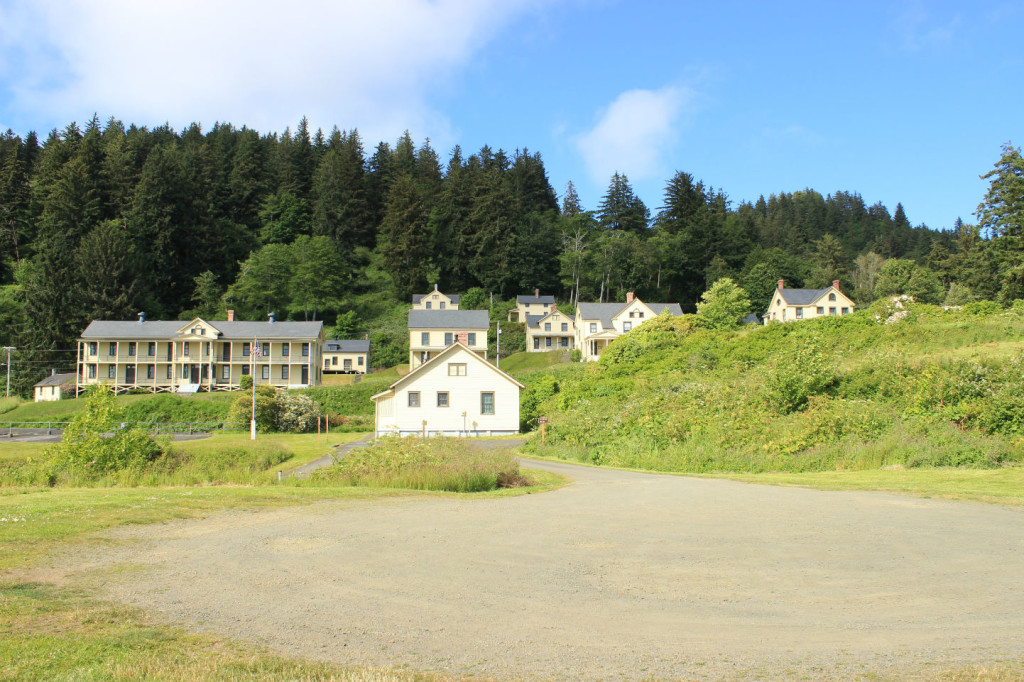
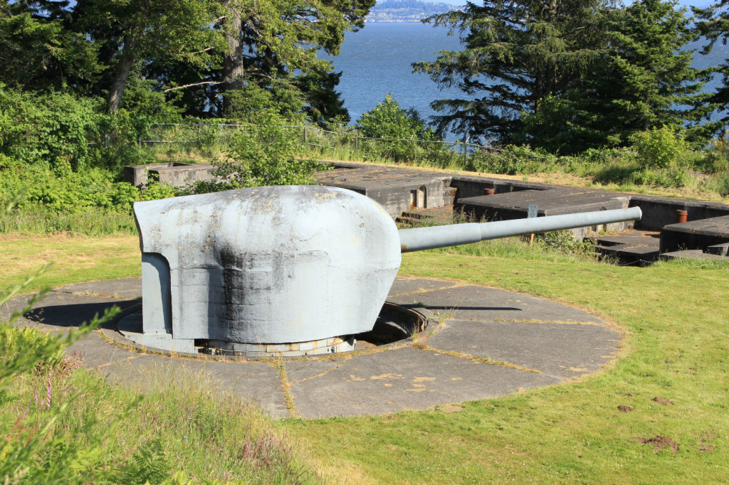
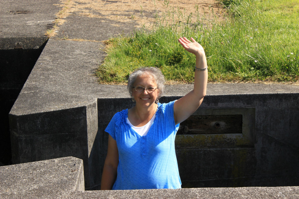
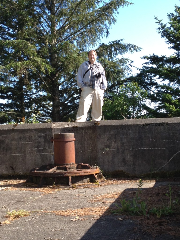
We were on the north bank of the Columbia River and moved inland. We stopped at Fort Columbia State Park which was built between 1896 and 1904 and was decommissioned in 1950. It supported Fort Canby and Fort Stevens across the river in defending the mouth of the river. We climbed around the gun batteries that are still there and drove by the restored buildings. There are some very nice officers’ quarters and barracks buildings. It was a very interesting military site and previous to that, Lewis and Clark passed through the very area.
We were guessing that those tall trees weren’t in front of the guns during the first half of the century because it was really hard to see the river. Plus they would have blown them to bits. 🙂
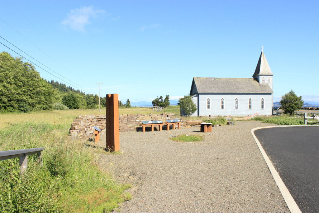
We followed the Corps of Discovery backwards to Station Camp where the Corps got their first view of the Pacific in November 1805 and then voted on where to explore to set up their winter camp. There are interpretive displays all along this area that explain the Native American history, the Corps of Discovery, other EuroAmericans, and the late 19th century canning settlement begun by Patrick McGowan. The church he built is there in the wayside park area and still celebrates Mass once a week.
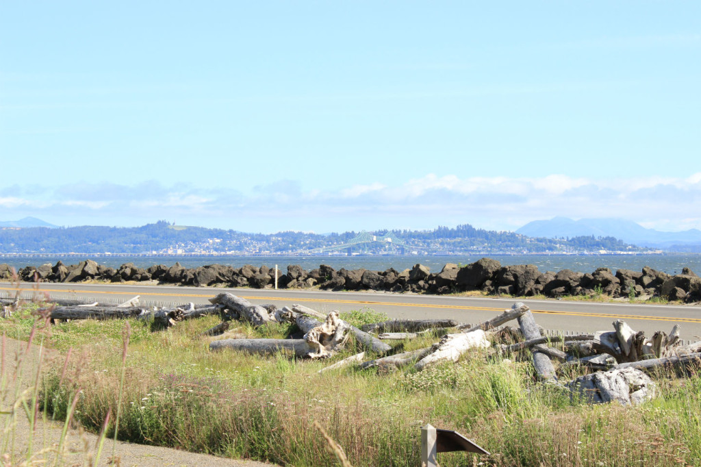
The view across the Columbia to Astoria is what the Corps would have seen without the city there.
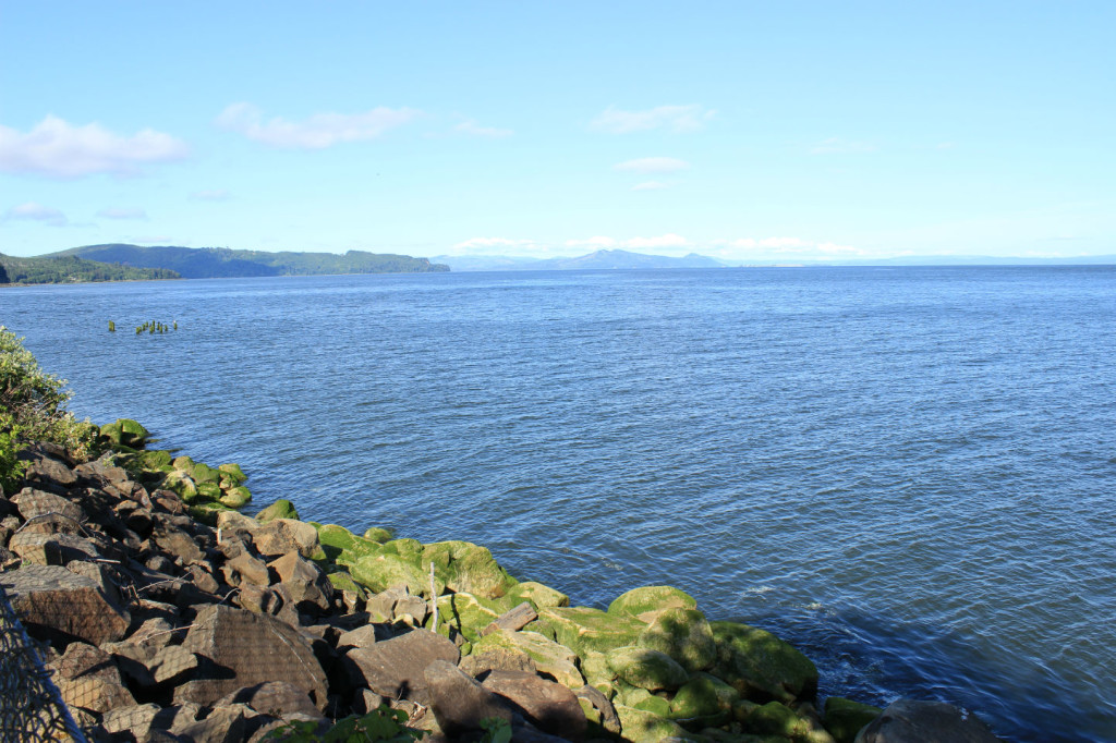
We moved up the river, still going backwards in Lewis and Clark time, to Dismal Nitch where the Corps camped and were pinned down for six days and pounded by severe winter storms. Here’s the view of the Columbia from Dismal Nitch.
We were driving on and decided on a whim to find Pillar Rock because I was reading from the Journals of Lewis and Clark. We read the description and followed a sign to it which took us on a twisting and turning road by many isolated residences. It finally turned into a narrow one-lane road which dead-ended after about 13 miles. On the way we got one glimpse through the trees of a short rock out in the river with some equipment on top and were confused. We got to the dead end and turned around because there were lots of No Trespassing signs displayed prominently all along the road and we were afraid to get out and look at the river. But we were totally.y confused about the whole rock thing, so driving back I looked it up on my phone and found out the rock has been shortened and equipment added, which seems weird, and you can’t get to where Lewis and Clark camped because the road stops and it’s private property. So……epic fail on Pillar Rock.

Leave a Reply