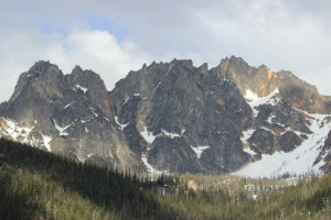
 After spending a couple days visiting Scott’s grandfather and aunt & uncle, we took off for the Seattle area. We had several choices for routes, but decided to drive Highway 20 through North Cascades National Park. There are over 300 glaciers in this park. The roads were recently opened from the winter snows and the scenery was beautiful, with the cool air, pine forest smell, and beautiful views.
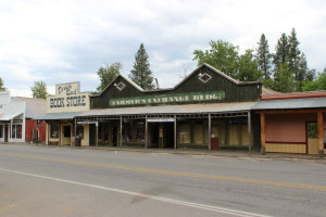
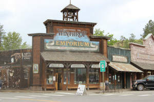
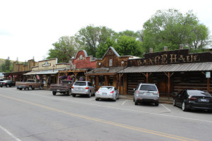
On the way up the mountains, we went through a nice town called Winthrop. It’s built like an old-time Western town, with boardwalks, period-style buildings, and lots of fun shops. It was a good place to get out for a few minutes, stretch our legs, and explore a bit. Plus I got some handcrafted earrings!
After leaving Winthrop, we continued on our journey, slowly but surely heading up the mountains. I’ll just say that they are stunning, and since it was early June and the run-off was starting, there were waterfalls everywhere from the melting snow. You know how much I love me a waterfall so we stopped when we could find a pull-out to look and take some pictures.

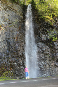
One thing that surprised us was the the difference between the east and west slopes of the Cascades. We’ve heard that the west side is impacted by the moist air and heavy moisture content in the clouds, compared to the rain shadow on the west side, but the difference was stark and amazing. The east side seemed dry and more like a desert, with lots of rocks, dirt, and dry-climate vegetation. But when we got to the west side, oh my goodness! All the rocks had thick moss on them, there were fern-like plants everywhere, and lots of undergrowth that didn’t exist on the east side. Much more tropical looking! That’s what we are here to experience and we’ve already had a taste of it.
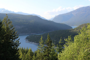
These are photos of the eastern edge of the park, heading upwards to the west, and showing the grand vistas.
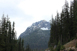
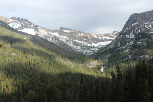
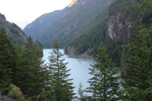
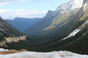 The Skagit River has been dammed in several places to provide electricity for Seattle, so it has been turned into a deep, narrow lake running down a gorge.
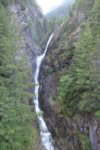
  At one spot there was a huge waterfall by a bridge on the road with a walking area along the bridge. We walked out onto the bridge and it is high above the chasm, but breathtaking to be right over the falls and the river.
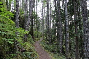
  Across the road was a short hike to an overlook of Gorge Lake, formerly the Skagit River, which was easy and walked us through the rainforest woods. So cool!
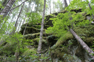
 This is a view on the western edge of park as we were headed out. The land is lower and the tall mountains are in the distance as we steadily drop to sea level.
 It took longer than planned to get across the Cascades. Partly due to the slower going, but mostly because of us stopping, looking, taking pictures, and hiking. We got to I-5 and decided to just stop in Marysville, about 35 miles north of Seattle, then push on from there in the morning.
I had to include a picture of a rhododendron. As we left the park and drove through the rural area between the mountains and the coast, every home had at least one very large bush on their property and they were blooming in all colors. So lovely! 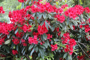

Leave a Reply